Skip to content

GIS & Geospatial Intelligence

GIS & Geospatial Intelligence

Discipline
GIS & Geospatial Intelligence
Markets
Building & Infrastructure · Business Services · Cities & Government · Environment · Industry · Resources & Waste · Transportation · Water & Utilities
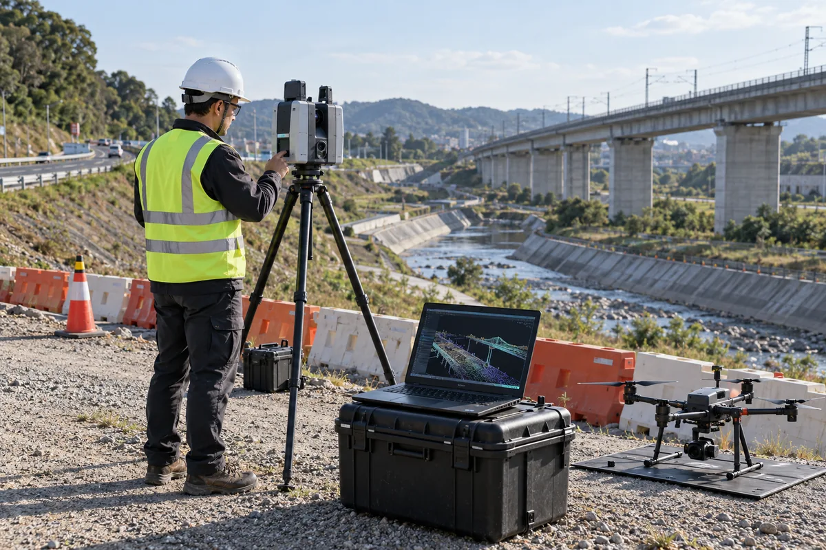
AI conceptual photograph of GIS & Geospatial Intelligence
AI conceptual illustration

Overview

Provides the spatial foundation for asset management, planning, monitoring and Digital Twin.

Services

  • GIS strategy
  • geodatabase design
  • enterprise GIS implementation
  • Web GIS
  • Mobile GIS
  • dashboards
  • spatial applications
  • Network mapping
  • asset surveys
  • linear infrastructure mapping
  • utility-data conversion
  • asset registers
  • GIS-based maintenance records
  • 3D GIS
  • urban models
  • infrastructure visualization
  • terrain modelling
  • city-scale geospatial environments
  • Satellite-image processing
  • land-use mapping
  • change detection
  • environmental monitoring
  • spatial classification
  • Drone surveys
  • LiDAR acquisition
  • point-cloud processing
  • orthophotos
  • DEM/DTM generation
  • volumetric analysis
  • Predictive spatial analysis
  • hotspot detection
  • risk mapping
  • location intelligence
  • AI-supported feature extraction
  • geospatial forecasting
  • BIM-to-GIS integration
  • asset georeferencing
  • real-time spatial layers
  • Digital Twin geospatial architecture
  • GIS consulting
  • GIS database development
  • Spatial data creation
  • Utility mapping
  • LiDAR surveys
  • Photogrammetry
  • 3D city modeling
  • Spatial analytics
  • GeoAI

Capabilities

  • GIS
  • Remote Sensing
  • Surveying
  • Drone Mapping
  • LiDAR
  • Photogrammetry
  • 3D GIS
  • Spatial Databases
  • GeoAI

Additional services

  • GIS consulting
  • GIS database development
  • Spatial data creation
  • Utility mapping
  • LiDAR surveys
  • Photogrammetry
  • 3D city modeling
  • Spatial analytics
  • GeoAI

Solutions

Municipal & Enterprise GIS

  • GIS strategy
  • geodatabase design
  • enterprise GIS implementation
  • Web GIS
  • Mobile GIS
  • dashboards
  • spatial applications

Utility GIS & Asset Mapping

  • Network mapping
  • asset surveys
  • linear infrastructure mapping
  • utility-data conversion
  • asset registers
  • GIS-based maintenance records

GeoAI & Spatial Analytics

  • Predictive spatial analysis
  • hotspot detection
  • risk mapping
  • location intelligence
  • AI-supported feature extraction
  • geospatial forecasting