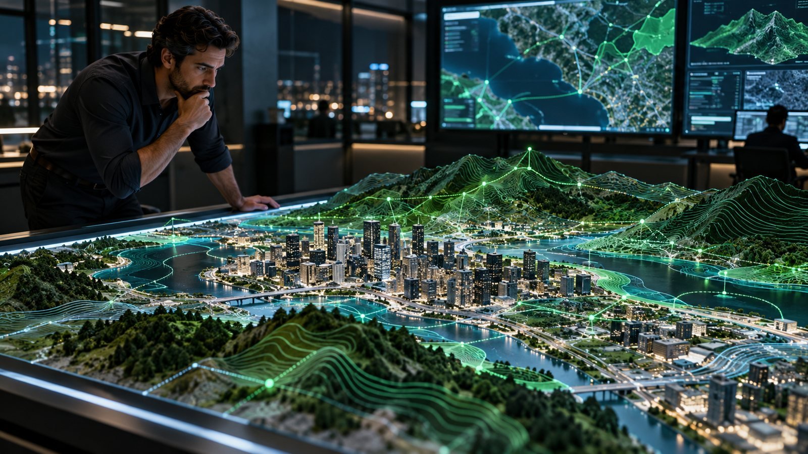
GIS & Geospatial Intelligence
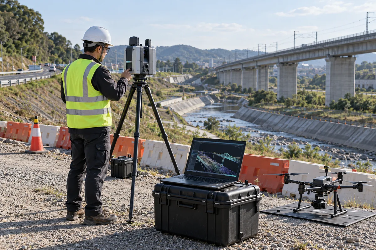
Remote Sensing & Earth Observation
- Discipline
- GIS & Geospatial Intelligence
- Markets
- Building & Infrastructure · Business Services · Cities & Government · Environment · Industry · Resources & Waste · Transportation · Water & Utilities
Overview
Provides the spatial foundation for asset management, planning, monitoring and Digital Twin.
Services
- Satellite-image processing
- land-use mapping
- change detection
- environmental monitoring
- spatial classification