KineticsIoT
KineticsIoT AirWatch
Hyperlocal air intelligence
- Brand
- KineticsIoT
- Discipline
- IoT & Smart Infrastructure
- Markets
- Environment
- Development status
- Product concept
Overview
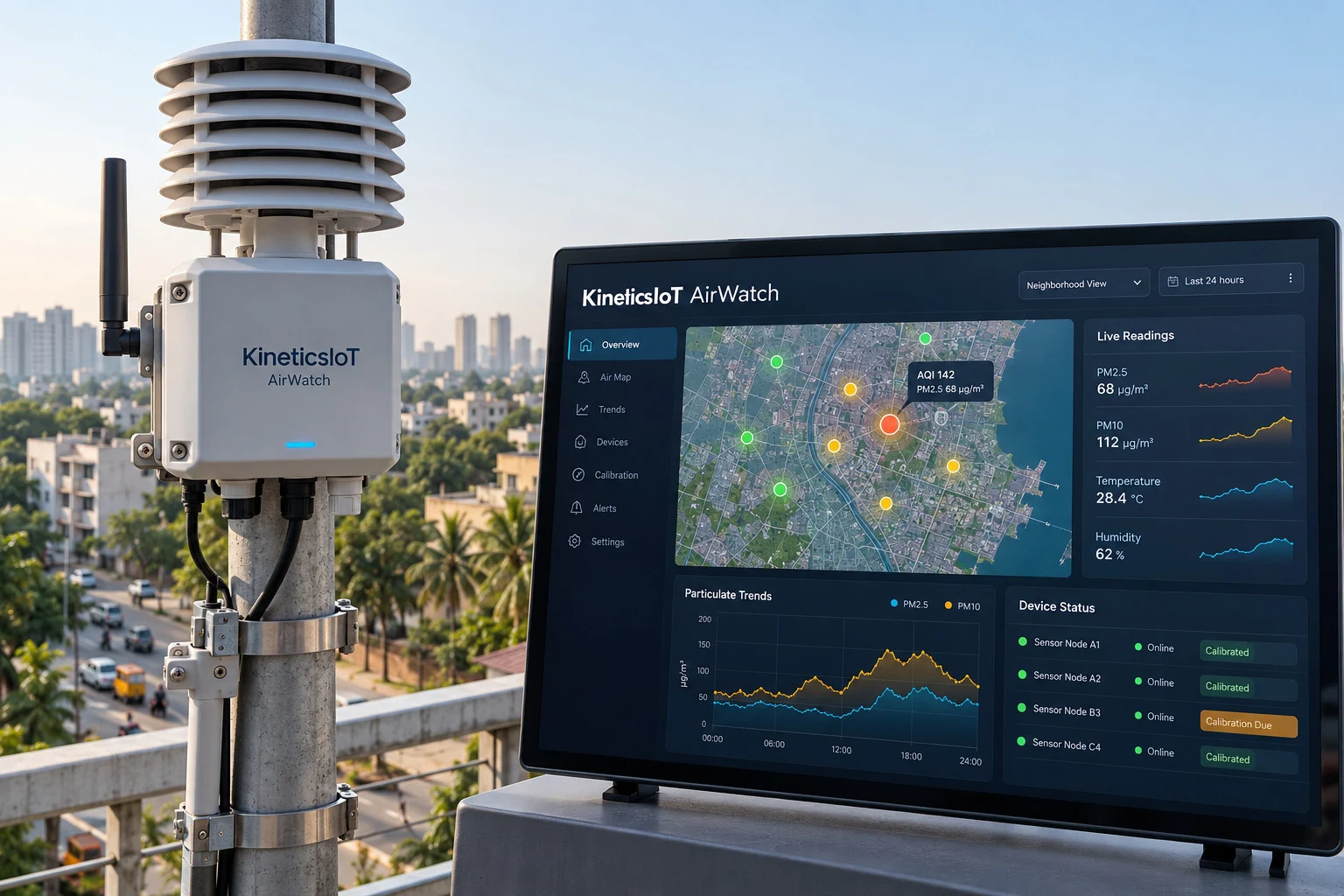
An environmental dashboard that combines stationary air nodes and optional mobile observations into neighborhood maps. It would distinguish raw readings, calibrated estimates and unavailable data so agencies can target investigations and communicate observations responsibly.
Product capabilities
- Map pollution trends and compare monitored locations.
- Flag sensor drift gaps and environmental interference.
- Link events to weather traffic and inspection notes.
Sensors and data
AirNode reference station comparisons weather and mobile surveys
Deployment fit
Configure local reporting methods and co location calibration programs.
Problem and deployment scope
Hyperlocal air intelligence
How it works
- Map pollution trends and compare monitored locations.
- Flag sensor drift gaps and environmental interference.
- Link events to weather traffic and inspection notes.
Architecture
AirNode reference station comparisons weather and mobile surveys
Integrations
Interface availability and supported protocols require product-specific confirmation.
Deployment
Configure local reporting methods and co location calibration programs.
Documentation
This page describes the published product concept. Validated drawings, datasheets, compatibility and deployment documentation are supplied following technical review.