
GIS & Geospatial Intelligence
Geospatial evidence for infrastructure priorities
- Discipline
- GIS & Geospatial Intelligence
- Markets
- Building & Infrastructure · Business Services · Cities & Government · Environment · Industry · Resources & Waste · Transportation · Water & Utilities
Overview
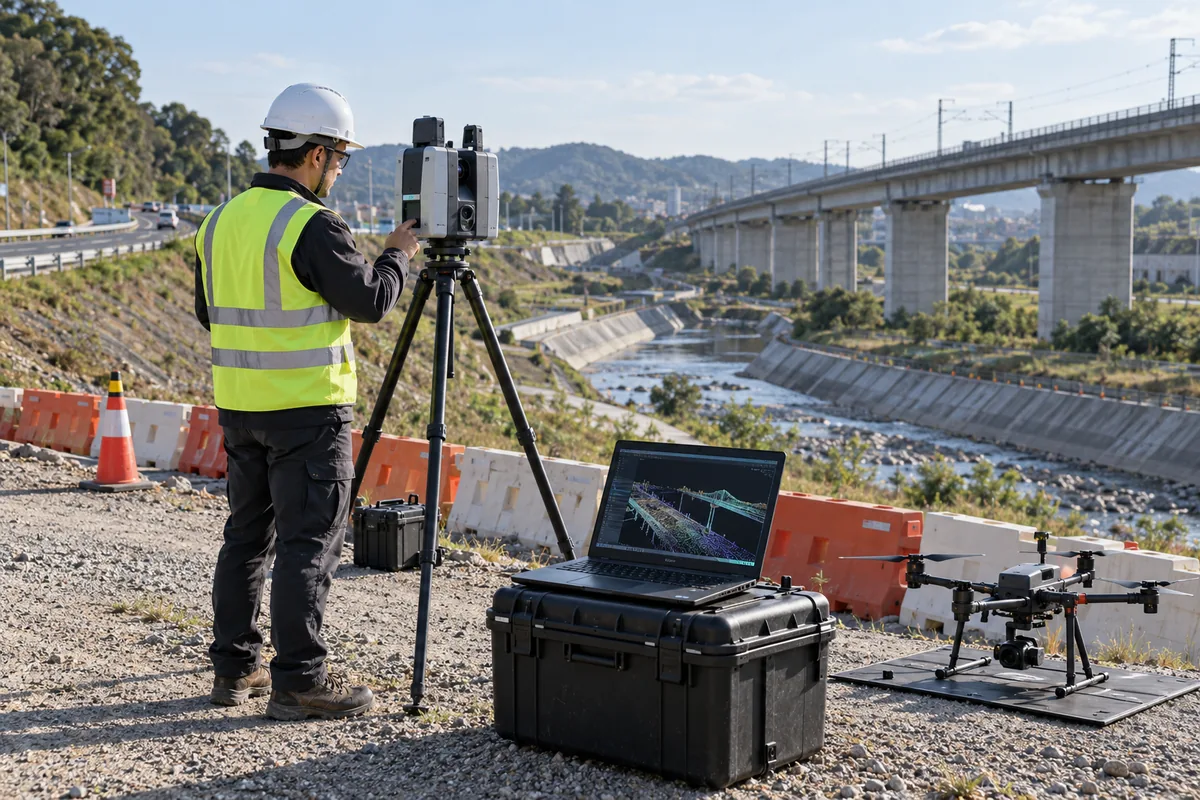
Identify the records required to evaluate an intervention: asset location, condition, service demand and constraints. Document coordinate references, survey dates and data gaps.
Separate measured observations from assumptions. A map should help a reviewer understand which areas have current evidence and which require field investigation.
Make updates part of the operating workflow. Assign ownership for field corrections and preserve the history of important asset changes.
Key considerations
- Define the operating decision and its owner
- Document the evidence, interfaces and assumptions
- Agree validation and handover responsibilities
Related solutions
Product capabilities
- Define the operating decision and its owner
- Document the evidence, interfaces and assumptions
- Agree validation and handover responsibilities